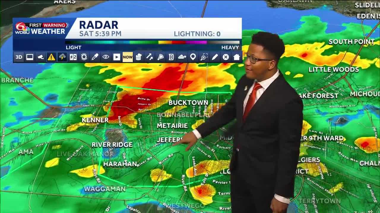
Trick-or-tre aters across the New Orleans metro area faced a soggy Halloween night as a slow-moving wet weather system brought heavy downpours, localized flooding, and falling temperatures to Southeast Louisiana.
Widespread rain pushed northward across the area late Saturday afternoon, impacting communities from Harahan and Kenner to Metairie, Gentilly, and the Northshore earlier today. Parts of Jefferson Parish, particularly near Lafrenière Park, recorded up to 7 inches of rain within a three-hour window.
While flash flood alerts issued by the National Weather Service began expiring Saturday evening, maintain caution on the roads for evening festivities. The heaviest rainfall will clear by 8 p.m. with conditions steadily clearing out from west to east around midnight.
Despite the damp conditions, temperatures remained mild, hovering in the mid-to-upper 70s during the early evening hours before dropping into the low 70s by 10 p.m. The system marked a notable shift after a prolonged dry stretch, representing the first day of measurable rain in New Orleans in weeks.
Looking Ahead
- Sunday: Partly cloudy skies, a high near 80 degrees, and a 40% chance of isolated storms.
- Monday: Pleasant and quiet conditions continue with a high of 80 degrees and low humidity.
- Tuesday & Wednesday: A incoming cold front will clash with moist air from the south, elevating rain chances back up to 40% to 60% by Tuesday night and Wednesday. Forecasters are monitoring the potential for strong or severe thunderstorms ahead of the front, with high temperatures remaining in the low 80s.
- Late Week: Quieter weather returns toward the end of the week, with highs dipping slightly into the upper 70s by Friday and Saturday.
READ MORE:Halloween Night: Rain slowly clears, spotty downpours possible Sunday