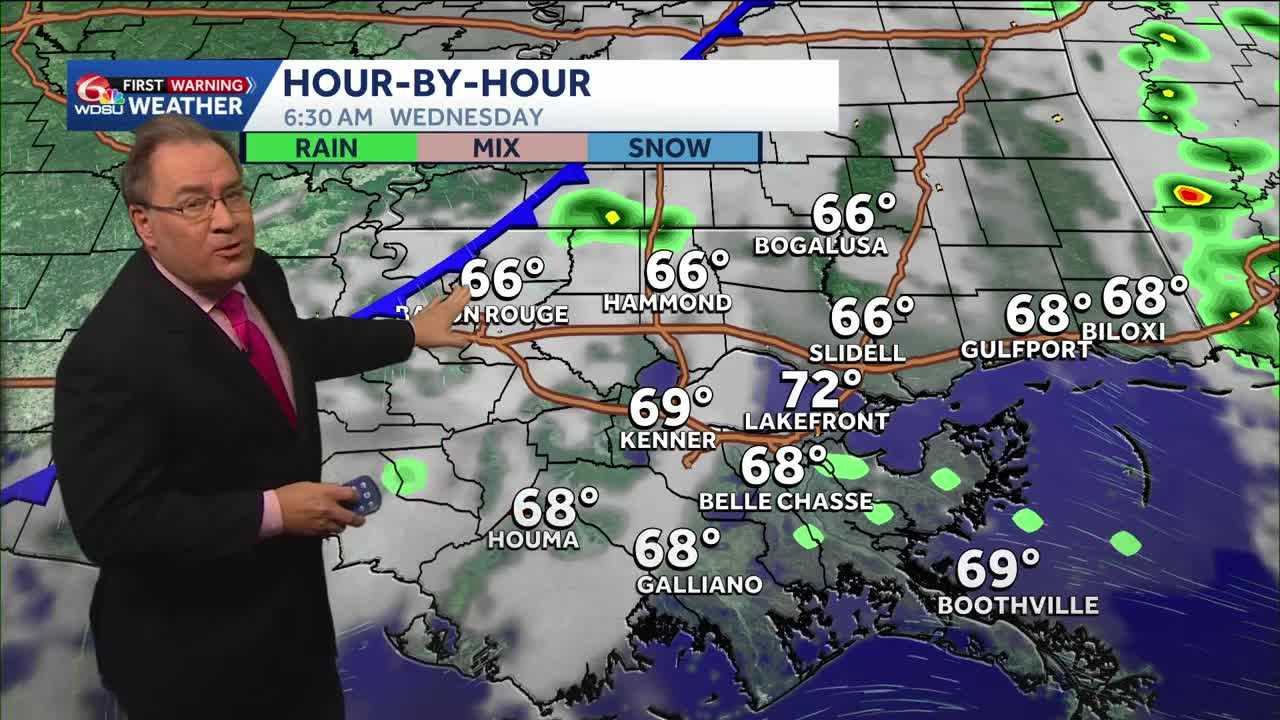
The clouds will be somewhat stubborn for us over the next couple of days before a cold front arrives Wednesday morning that will change our weather for the end of the week and for the upcoming weekend.
Monday will stay mostly cloudy with a few isolated showers, although the clouds may decrease a bit by the late afternoon and evening. It will continue to be warm and somewhat humid on Tuesday, and your election day forecast does include a few scattered showers popping up in the late morning through the afternoon. The showers should be fairly isolated and not deter anybody from getting out to the polls on election day. Late Tuesday night a cold front will be approaching, and it may bring a few scattered showers and thunderstorms overnight, but the better chance of rain will likely come on Wednesday morning.
Although this front may produce some severe weather in the northern portion of the state, our showers will be a bit more scattered, and severe weather is not really expected. However, there is still a chance one of the storms could contain some gusty winds on Wednesday.
By late Wednesday, the front should be moving through, then the cooler and dryer air moves in starting on Thursday as the dewpoint temperatures will return to the 50s, and high temperatures will be in the 70s through the weekend.
In the tropics, there is an area of cloudiness close to the Bahamas that the National Hurricane Center is watching, and it has a 20% chance to development over the next seven days. Due to where it’s located, it is not any sort of a threat to us. Other than that, the tropics are quiet.
READ MORE:Cooler air and drier conditions arrive later this week