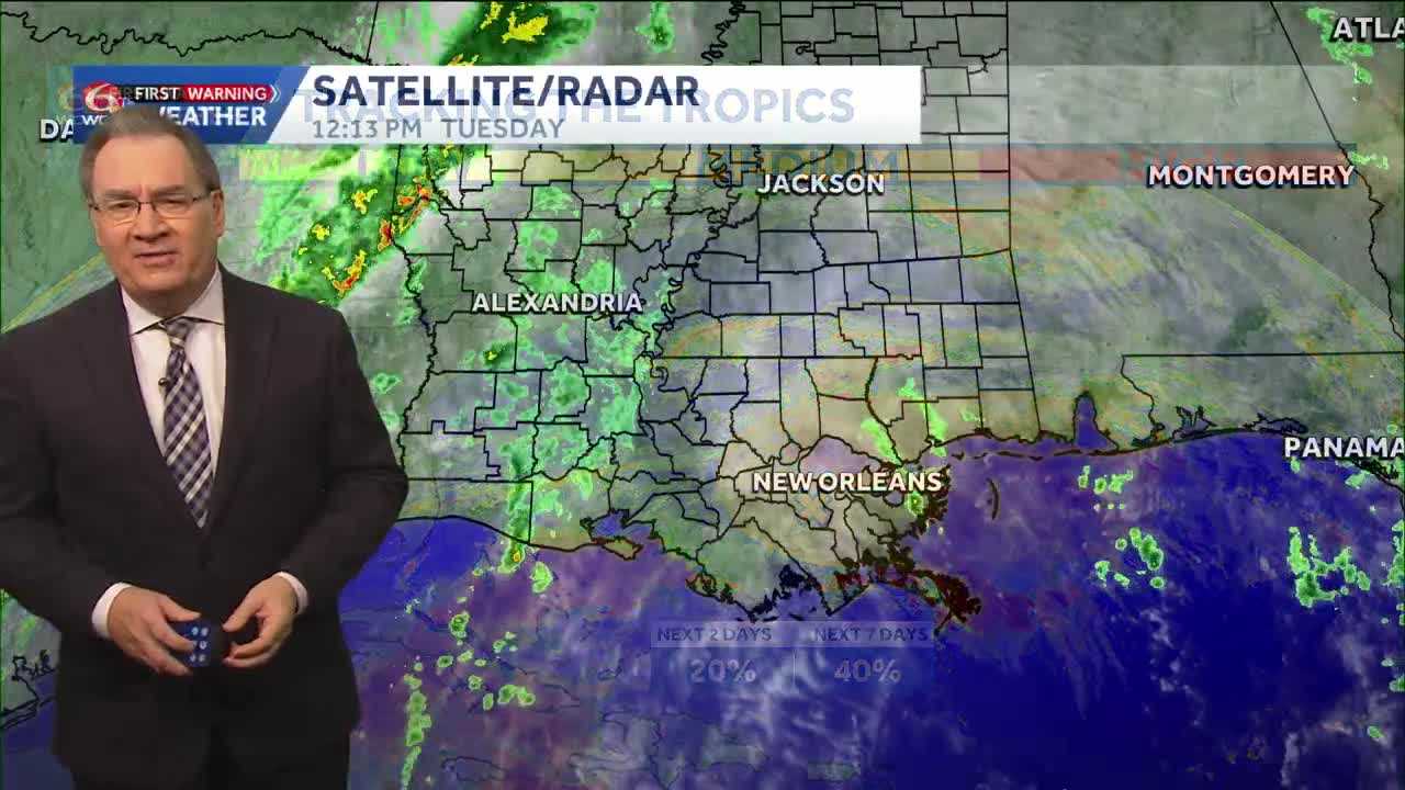
Cloud cover will stay with us throughout the day on Tuesday, and those clouds may contain a few very isolated showers, but they will be mainly light. A cold front will be approaching late Tuesday, and overnight there could be an isolated thunderstorm, mainly on the North Shore.
Wednesday morning will start cloudy with scattered showers, but by the afternoon the skies begin to clear, and some slightly drier air will be moving in. Thursday should be a dry day, with a good amount of sunshine and temperatures that feel a bit more comfortable thanks to slightly lower humidity.
On Friday, we will be watching an area of low pressure in the Gulf, that may bring us a few isolated showers and some additional cloud cover. This low-pressure system may help to keep some clouds in place through the weekend, but most of the weekend looks to be dry, and a bit less humid as well. By the beginning of next week, significantly colder air will be moving in, and the humidity will also be a lot lower. Sunshine should also be abundant for us by Monday and Tuesday of next week.
In the tropics, there is an area of cloudiness that the National Hurricane Center is watching, but it is close to the Bahamas and poses no threat to Louisiana.