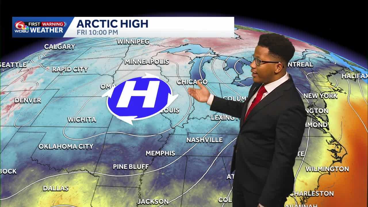
A strong cold front sweeping across the eastern United States is delivering a significant temperature drop to southeast Louisiana, clearing out humidity and setting up some of the coolest weather of the season so far.
High pressure originating from the Arctic is building into the region behind the boundary, bringing clear skies and dry conditions that will persist well into next week.
Weekend Forecast and Chilly Mornings
The cooler air mass will fully settle in by Sunday morning, bringing crisp conditions to the North Shore and South Shore alike.
- North Shore: Morning lows will drop into the low 40s, with a few isolated spots potentially touching the upper 30s.
- South Shore & River Parishes: Expect morning lows in the upper 40s to mid 50s.
- Afternoon Highs: Daytime highs will struggle to climb past the upper 60s to near 70 degrees on Sunday, accompanied by plenty of sunshine.
The crisp conditions make for ideal weather for weekend events across the area, including the Po’ Boy Festival and tailgating for the Saints game.
Anyone heading out early will want a light jacket, but afternoon sunshine will make for a comfortable stretch.
Dry Trend Holds Strong
The front is leaving behind a notably dry air mass, keeping rain chances out of the forecast for the next four to five days. While a weak disturbance passing out of Texas may bring a few passing clouds by Wednesday and Thursday, moisture levels will remain too low to support measurable rainfall.
Looking ahead, high pressure and dry conditions will remain in control through the end of the week, maintaining clear skies across southeast Louisiana.
READ MORE:Cooler weather settles across Southeast Louisiana through the weekend