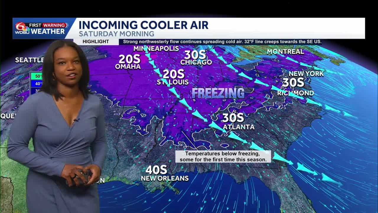
We’re waking up a lot colder than Thursday morning!
Most temperatures started about 15+ degrees colder than Thursday.
As we go throughout the day, highs eventually reach near average in the upper 60s to low 70s.
Ready for some high school football? The forecast is calling for clear conditions with chilly temperatures eventually reaching the 40s and 50s at the end of most games.
Waking up Saturday morning, temperatures will be in the mid 30s on the Northshore, which means the possibility of patch frost. On the Southshore, temperatures will be in the 40s and 50s. This will be a noticeable difference than previous days.
Afternoon highs only reach the upper 50s to low 60s with mostly sunny conditions.
Overnight temperatures Saturday into Sunday will also be similar to Saturday morning, but the winds will pick up, so the possibility of patchy frost will be limited in some areas.
As we get to Sunday afternoon, highs reach the mid 60s with very breezy conditions.
Those breezy conditions continue into Monday. There’s also a chance for showers and storms on Monday as a system approaches us, but there’s a possibility that most of the rain stays offshore. There will still be rain chances for our area starting out that Monday morning. This is something that will need to be watched and adjusted as we get closer.
READ MORE:Much colder on this Friday morning, even colder Saturday morning