Today is a WDSU First Warning Weather Impact Day as we’re expecting more heat and storms in your Wednesday forecast.
A heat advisory is in effect from 10 a.m. to 6 p.m. as highs will reach 90-96 degrees possibly feeling like 105-110 degrees.
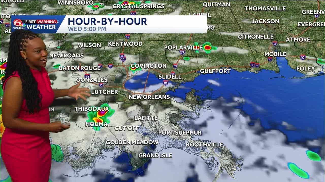
Let’s talk about the storm timing today:
- After 9 a.m. Lower Plaquemines Parish
- Around noon St. Bernard Parish
- Throughout the afternoon—scattered for the Southshore
- Evening: spotty on the Northshore
- 10 pm: done
Any storms that do arrive do have the potential to be strong to severe. The main impacts would be strong winds, heavy downpours, and a lot of lightning.
Starting Thursday, we enter our typical summertime pattern again. Highs tomorrow into the weekend will be in the low 90s, feeling like the triple digits. We’ll see daily afternoon scattered rain chances, but washouts are not expected.
4th of July forecast looks hot with highs in the 90s with a few scattered storms possible.
READ MORE:Impact Day: feeling like the triple digits plus more scattered storms in your Wednesday forecast


