We had some wicked storms across the New Orleans Metro Tuesday afternoon!
Thankfully, the radar picture is much more tranquil this evening. Don’t put the umbrella away though as we’ve got daily storm chances incoming.
More rain and storms are on the way each day this week. Rain coverage may be a touch lower Wednesday-Thursday. The greatest coverage of storms each day will be after 2 p.m. as we approach the hottest times of the day.
Not everyone will see storms each day, but in the locations that do, watch for localized heavy rain and intense lightning.
Highs climb into the low 90s feeling like 100-105+ degrees. Feels-like temperatures will get very close to heat advisory status late week into the weekend.
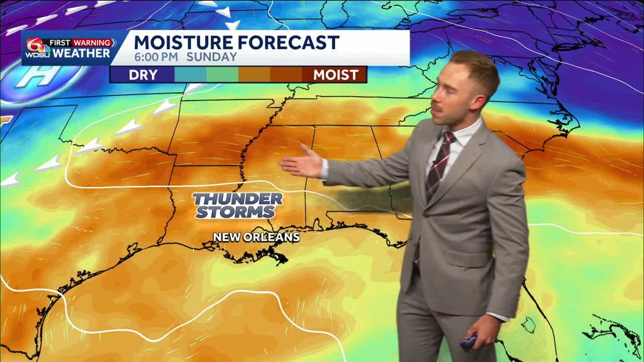
We could see an increased chance for rain over the weekend. Increased tropical moisture and a nearby frontal boundary may bring an increased heavy rain risk, especially by Sunday-Monday. Stay tuned.
READ MORE:Daily summer storms continue with increasing rain coverage by the weekend