October starts warm and muggy, with showers returning to southeastern Louisiana and more rain expected this weekend.
A few showers developed near the coast early today. More scattered showers and storms are expected through the day, with sunshine between them.
Highs will range from 88 to 90 degrees, with southeast winds around 5–10 mph.
Any stronger storm could bring a brief heavy downpour, lightning and gusty winds.
Showers will fade this evening, leaving mostly clear skies for much of the area. Overnight lows will range from 71–74 on the Northshore and 76–79 on the Southshore.
Friday brings a 60% chance of showers and storms, favoring the afternoon. Highs will again reach 88–90 degrees.
A wetter weekend
Friday through Sunday remain WDSU First Warning Weather Impact Days.
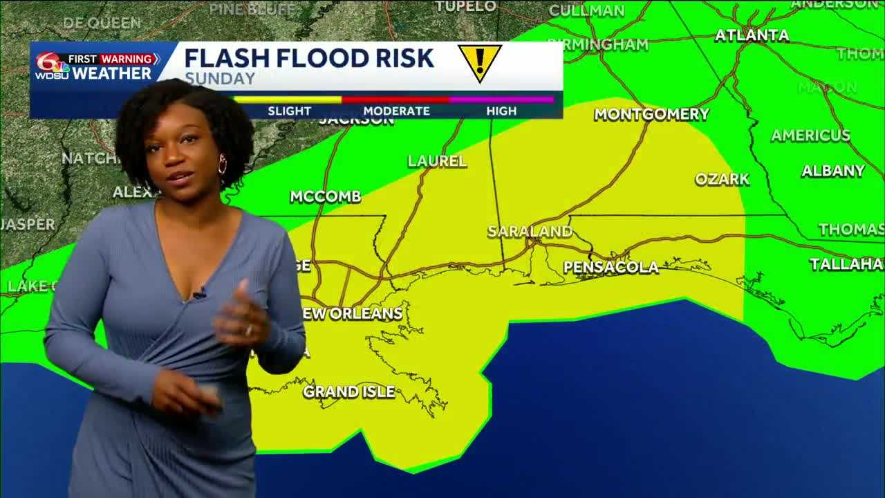
Rain chances rise to 80% Saturday and Sunday, with highs near 85 Saturday and 84 Sunday. Outdoor plans should include an indoor backup.
A stalled front will help focus the heavier rain. The latest forecast calls for 2-4 inches Saturday through Sunday, with localized amounts up to 5 inches, along and south of that boundary. New Orleans and coastal Louisiana and Mississippi have the greatest potential for heavier totals. Farther inland, north of the front, amounts may stay around an inch or less.
Heavy downpours could cause localized street and flash flooding. The risk of organized severe storms looks very low.
Some improvement next week
The front should push most rain toward the coast or offshore Monday and Tuesday. Metro highs will ease into the low 80s, though rain could return to more areas Wednesday.
READ MORE:Keep umbrellas handy: Showers today, more rain this weekend