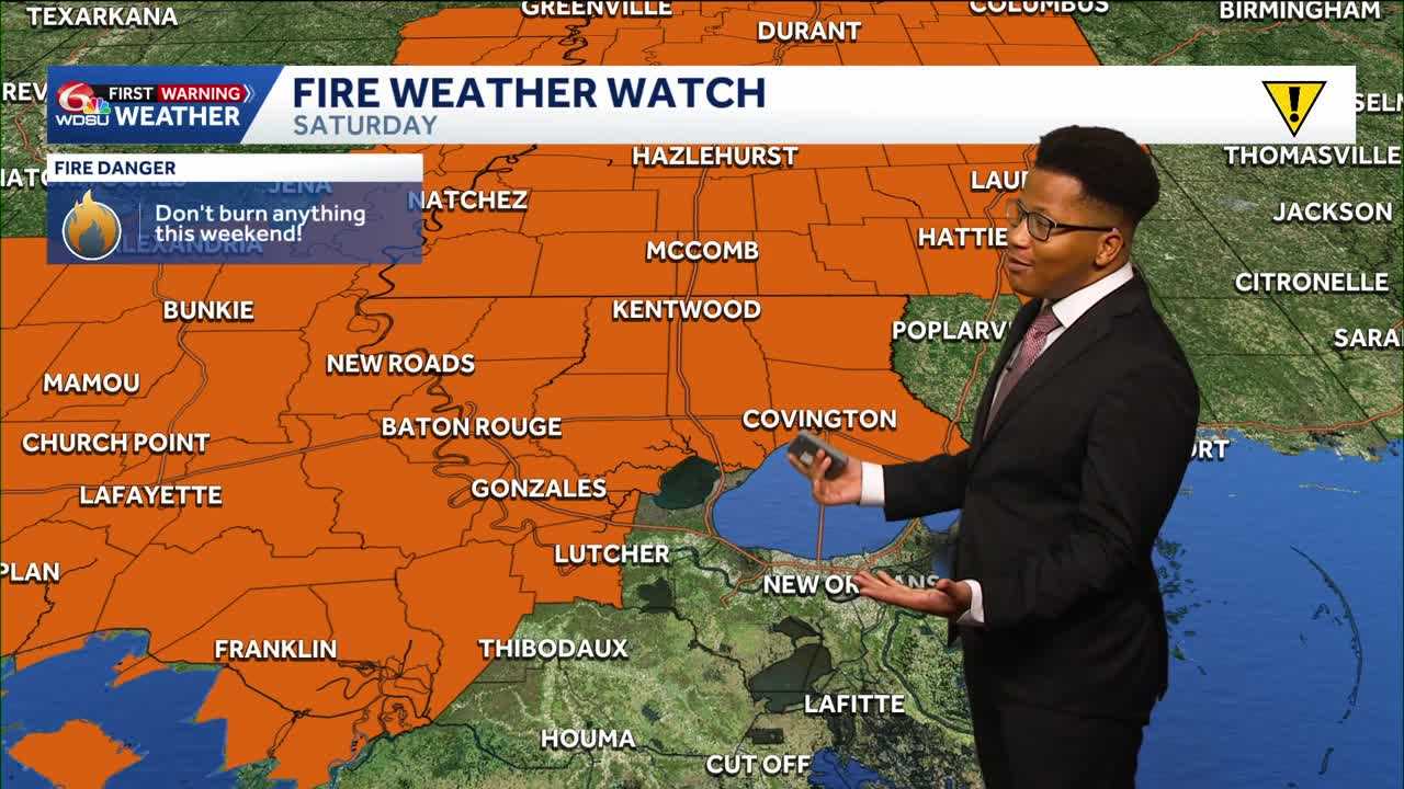
FIRE DANGER RISK
That National Weather Service places parts of Southeast Louisiana and Southern Mississippi within a Fire Weather Watch this Saturday as gusty winds and low humidity increases the fire danger risk.
The culprit stems from a cold front this weekend.
FRIDAY’S FORECAST
Friday is looking like another beautiful day, starting with some patchy fog across the Northshore. The past few days, visibility across the Northshore, metro, and river parishes dropped to nearly a tenth of a mile in several spots, however, as a cold front approaches Louisiana Friday, the fog will struggle to develop.
Still some spots will see the fog, but not nearly as widespread nor dense. Highs Friday afternoon will climb to the upper 80s. A few isolated drizzles (10% chance) can’t be ruled out Friday afternoon and evening, with increasing clouds. Widespread rain is not expected, but wind gusts could climb up to 35 mph by Friday night.
WEEKEND COLD FRONT
SATURDAY
A Canadian high pressure system will push into the Eastern United States, bringing cooler air the Deep South. Wind gusts will climb along this front with gusts between 35 and 40 mph by Saturday morning.
Morning lows will fall to the mid-50s and low 60s, with highs in the mid-70s.
SUNDAY
The coolest weather so far this season will return to Louisiana Sunday morning. Morning lows will fall to the upper 40s in a few spots across the Northshore and mid-50s across the Southshore, as winds slowly decrease.
It’ll feel great for the Wooden Boat Festival in Madisonville all weekend.
7 Day Forecast
READ MORE:Louisiana weather forecast: A cold front brings high fire danger, gusty winds, and a cooldown