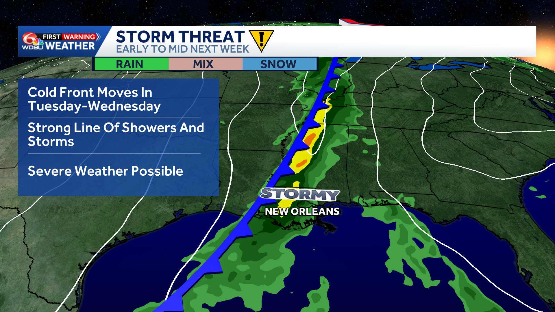
A dynamic storm system moving across the country next week could bring an opportunity for severe thunderstorms across parts of the southern United States. While the details remain uncertain, there is a growing signal for a potentially active weather pattern worth monitoring.
The Storm Prediction Center notes that “trends will be monitored for increasing severe potential across the south-central U.S. early next week.”
The current window of interest is late Tuesday into Wednesday, though the timing could change as the forecast becomes clearer. One possibility is a line of thunderstorms, sometimes called a squall line, developing as the system moves through. It is still too early to say whether that will happen or identify the areas most likely to be affected.
Specific threats and their severity will depend on how the storm system and atmospheric conditions come together. For now, residents across the southern U.S. should keep an eye on forecast updates rather than focus on any one possible outcome.
Behind the system, a shot of much cooler air could also move into the region.
Stay tuned for updates as confidence in the timing, location and potential impacts improves.